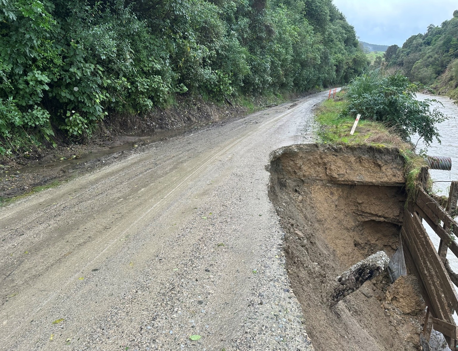
Our local road network remains fragile
We're carrying out both ongoing maintenance and significant recovery work across the region.
The table and map below shows road closures and restrictions.
To view the full programme of road works, see the webpage Maintenance and Recovery Work
Temporary road closures and restrictions
Mainly weather-related
| Road |
Location |
Status |
Comments |
Update / Reopen ETA |
Updated |
Photos |
| Tokata Road |
1.43 km |
1Closed
|
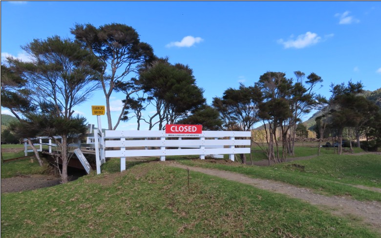
Farmer Bridge closed due to scouring |
Next update
05 Dec
|
31 Aug 2026 1:18pm |
|
| Utting Road |
entire road |
3Closed to Heavy Vehicles
|
Open to stock trucks only |
Next update
04 Dec
|
17 Sep 2026 8:11am |
|
| Matahiia Road |
2.663 - 2.701 km (Aorangawi Bridge) |
3Closed to Heavy Vehicles
|
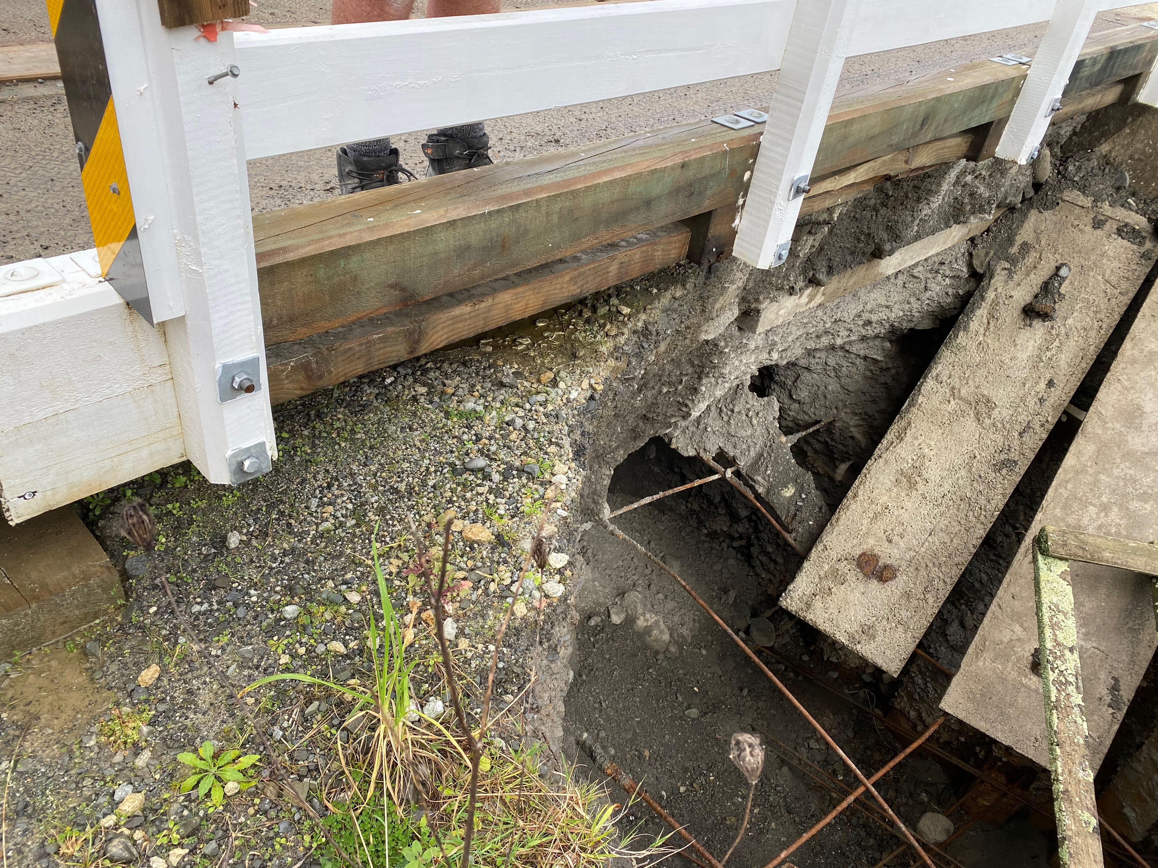
Abutment Scour Escalation |
Next update
13 Nov
|
20 Aug 2026 3:06pm |
|
| Bushy Knoll Road |
12 km |
3Closed to Heavy Vehicles
|
Road affected by slip – unsuitable for heavy vehicles. |
Next update
10 Dec
|
10 Sep 2026 12:43pm |
|
| Parikanapa Road |
22.6 km - 23.4 km |
1Closed
|
Planned works - drainage improvements, earthworks and retaining-wall construction | From 28 September to 23 October 2026 from 7.30am - 4pm Monday - Friday |
23 Oct 2026 5:00pm
|
21 Sep 2026 8:59am |
|
| Wharekopae Road |
36.24 km - Rere Falls Bridge |
3Bridge Closed
|
Bridge abutment stabilisation work from Monday 05 October to Tuesday 06 October from 8.30am to 5pm |
06 Oct 2026 5:00pm
|
25 Sep 2026 8:36am |
|
Map display of road information
The map displays long-term road closures and works on state highways. For more detail, visit NZTA Waka Kotahi
Report road or bridge issues
To report local road or bridge issues, please use the Antenno app or contact us online
Antenno
The quickest way to report road issues and stay informed. Use the free Antenno app to report problems from your phone and receive alerts about closures and disruptions. Download Antenno
Map or table - which works best for you?
Do you prefer the map view or the table view for road updates? We'd appreciate your feedback tell us what you think