Communities across Tairāwhiti were impacted by Cyclone Gabrielle in February 2023. Homes were inundated, productive land was buried under silt and woody debris and tragically, a cherished member of our community lost their life.
In response, Council secured $71.1 million in funding to deliver flood resilience improvements across the region. The programme aims to reduce risk to life, support the continued insurability of homes, improve the resilience of critical infrastructure and consider sites of cultural significance and the impacts of climate change. Of the $71.1m investment, $64m is from the government's $204m cyclone support package with Council contributing $7.1m.
Funding is for work in:
- Waipaoa - $20.46m
- Te Karaka - $13.2m
- Gisborne city - $15.05m
- Te Arai - $1.2m
- East Coast communities (Uawa, Tokomaru Bay, Makarika, Tikitiki) - $22.4m
Technical investigations, engagement with mana whenua and communities and evaluation of a wide range of flood mitigation options have helped identify preferred flood resilience options for these areas. The final recommendations will require Government approval.
Preferred options by catchment
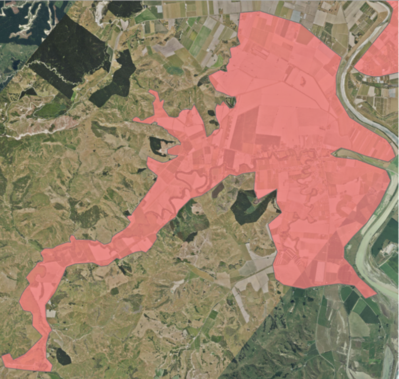
Te Arai Catchment
Waingake, Manutuke, Hangaroa, Waerenga-o-Kuri
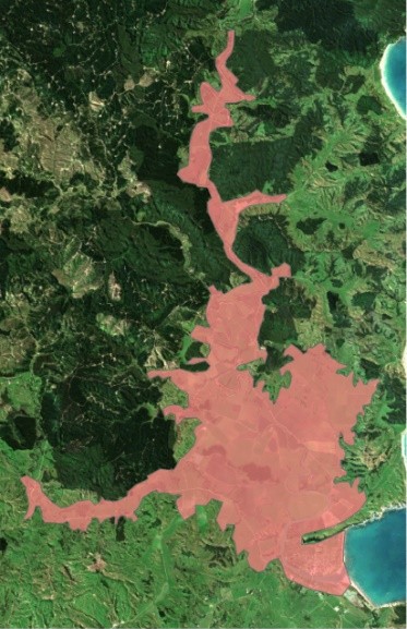
East Coast
Tolaga Bay, Tokomaru Bay, Makarika and Tikitiki
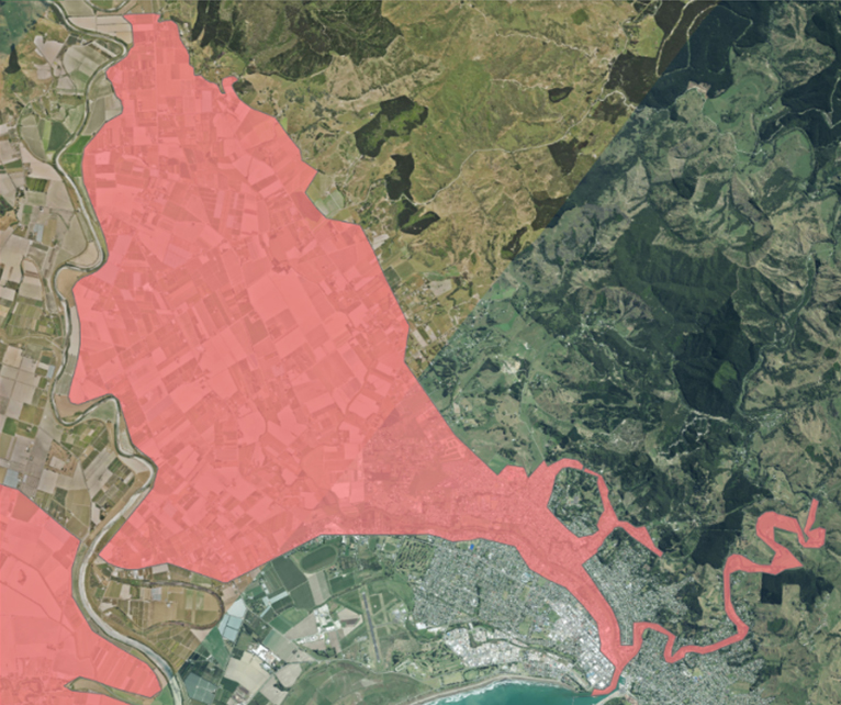
Gisborne city
Waimata, Taruheru and Turanganui rivers
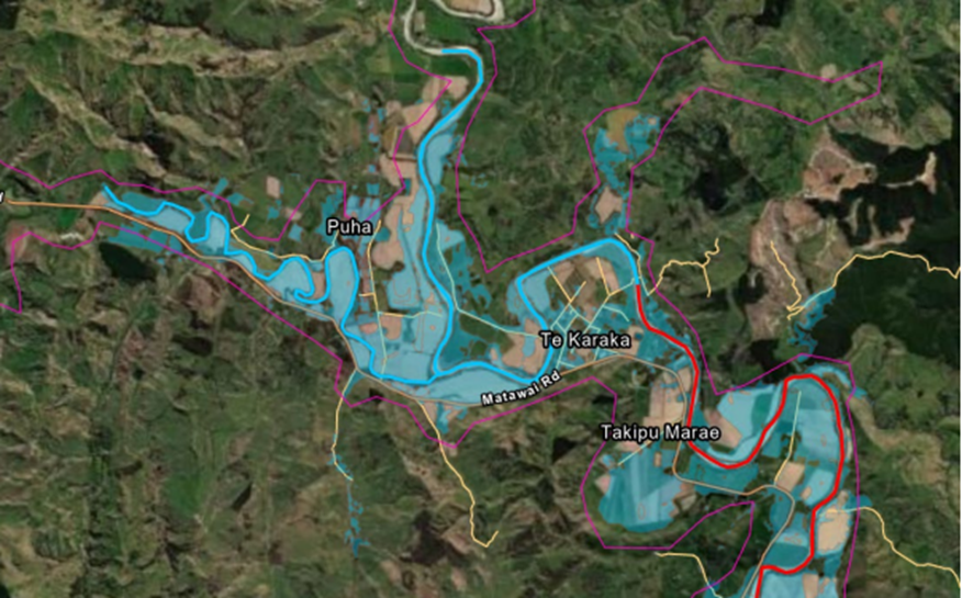
Te Karaka
The township and outer areas that experienced flooding
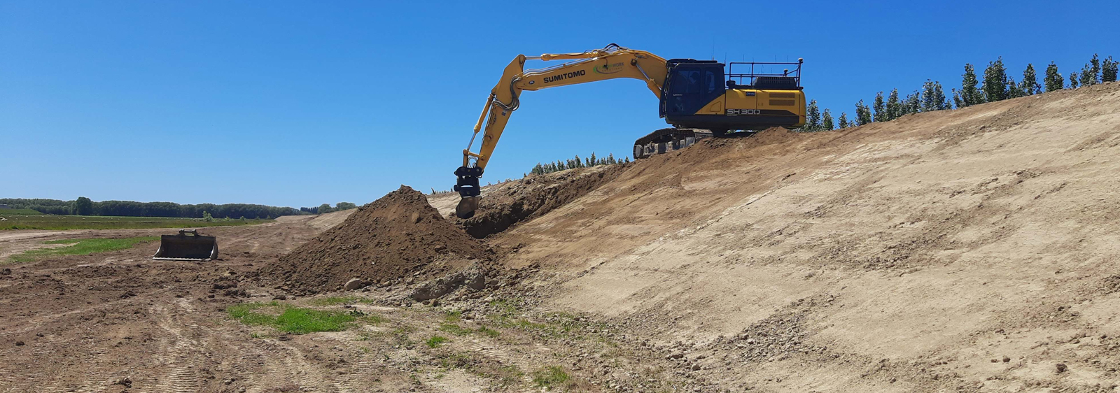
Waipaoa Flood Control
64km of stopbanks along the Waipaoa River
Stages of the project
This project will be completed in 3 stages and finishing by 2028.
We're identifying cost-effective ways to reduce and mitigate the risks of future damage from a significant flood event to these communities.
The main tasks include:
- Studying river changes (geomorphology) looking at historic data, maps, aerial images, matauranga and local knowledge.
- Surveying rivers using LiDAR from a helicopter and Sonar from a boat
- Options assessment applying the 'PARA' framework (Protect, Accommodate, Retreat, Avoid) to explore all possible flood resilience options.
- Developing computer flood models to simulate floods and evaluate different solutions.
- Assessing solutions considering the modelled impacts on flood levels, cultural values, environmental effects, financial costs and a range or other criteria
We're talking with local communities, iwi and infrastructure owners to discuss a long list of possible mitigations and solutions for our catchment areas.
This involves securing funding, creating concept designs, and obtaining resource consents to move the project forward.
We’ll complete the detailed design and put the chosen solutions into action.
This could include physical works, evacuation plans, changes to district planning rules, or other measures to improve flood resilience.