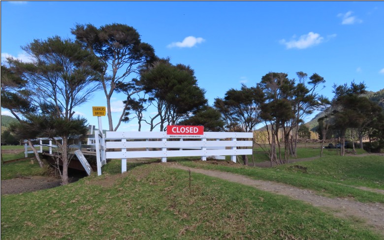
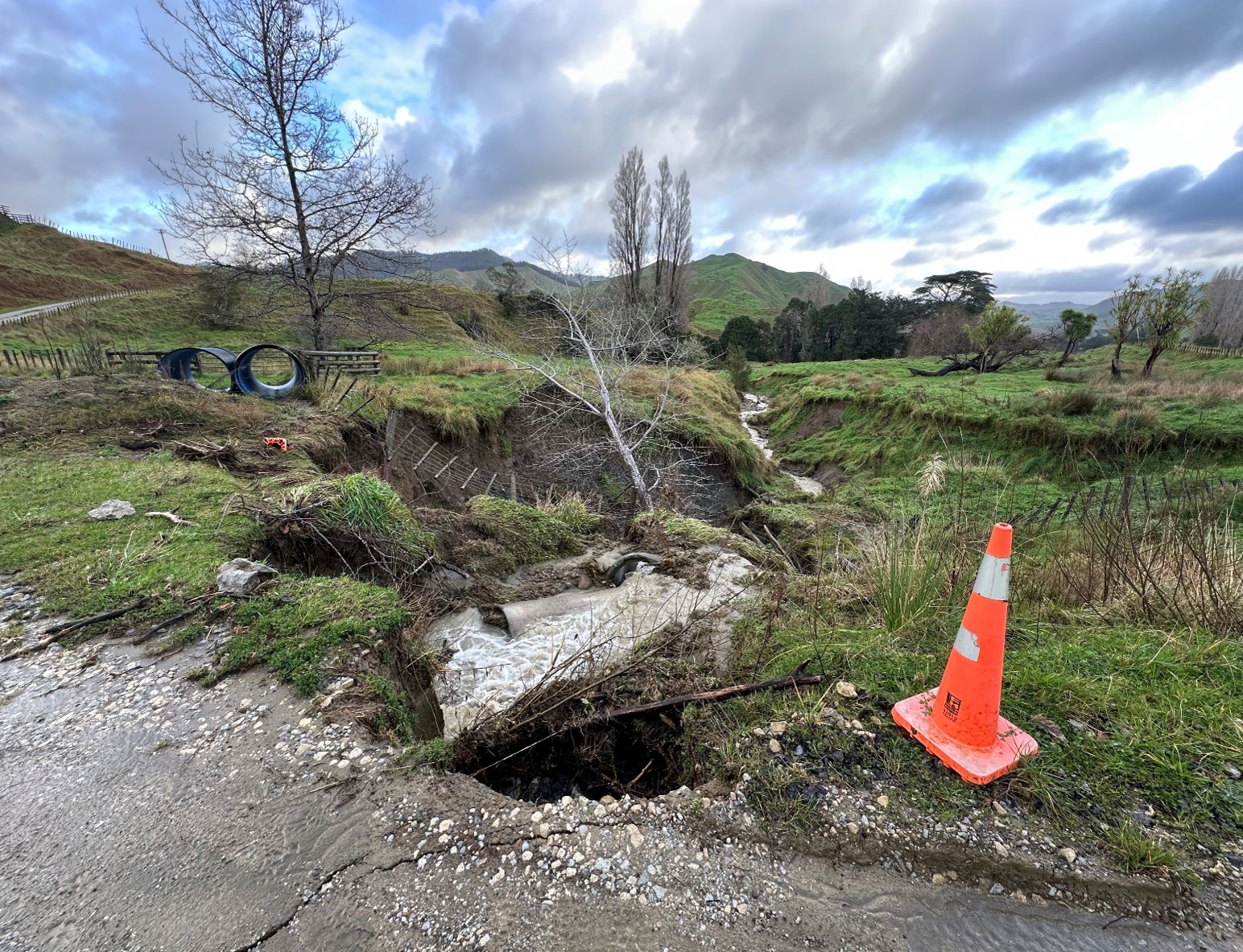
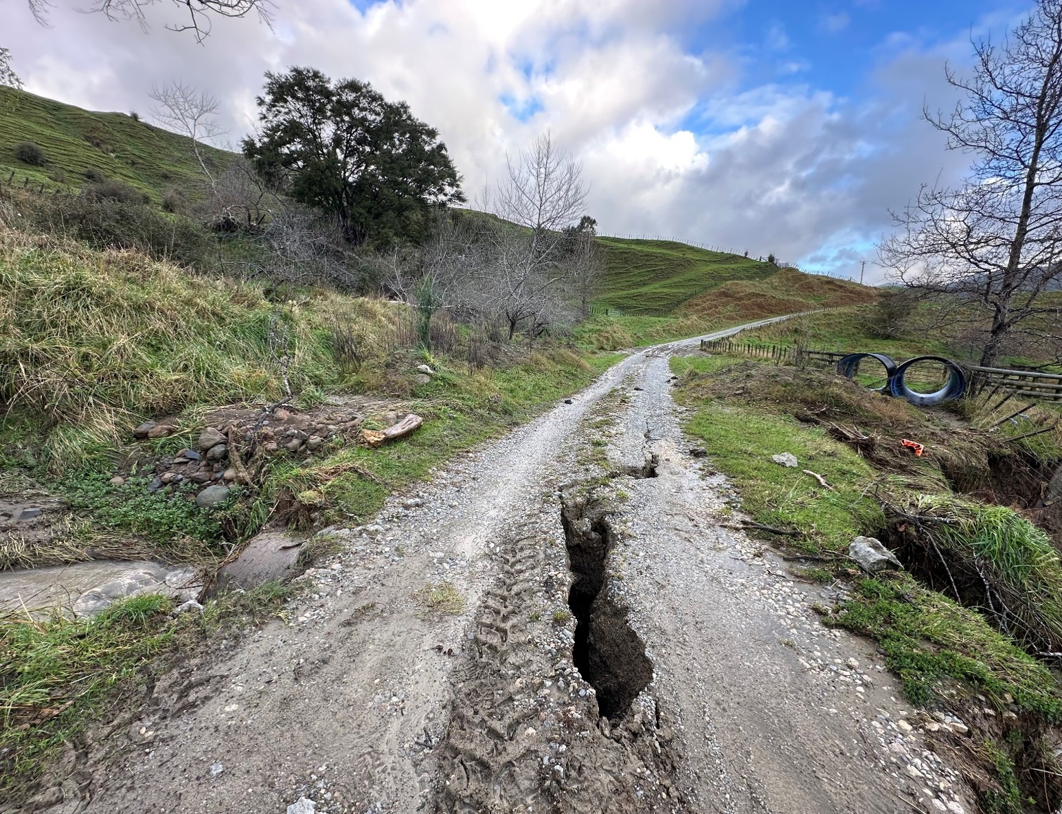
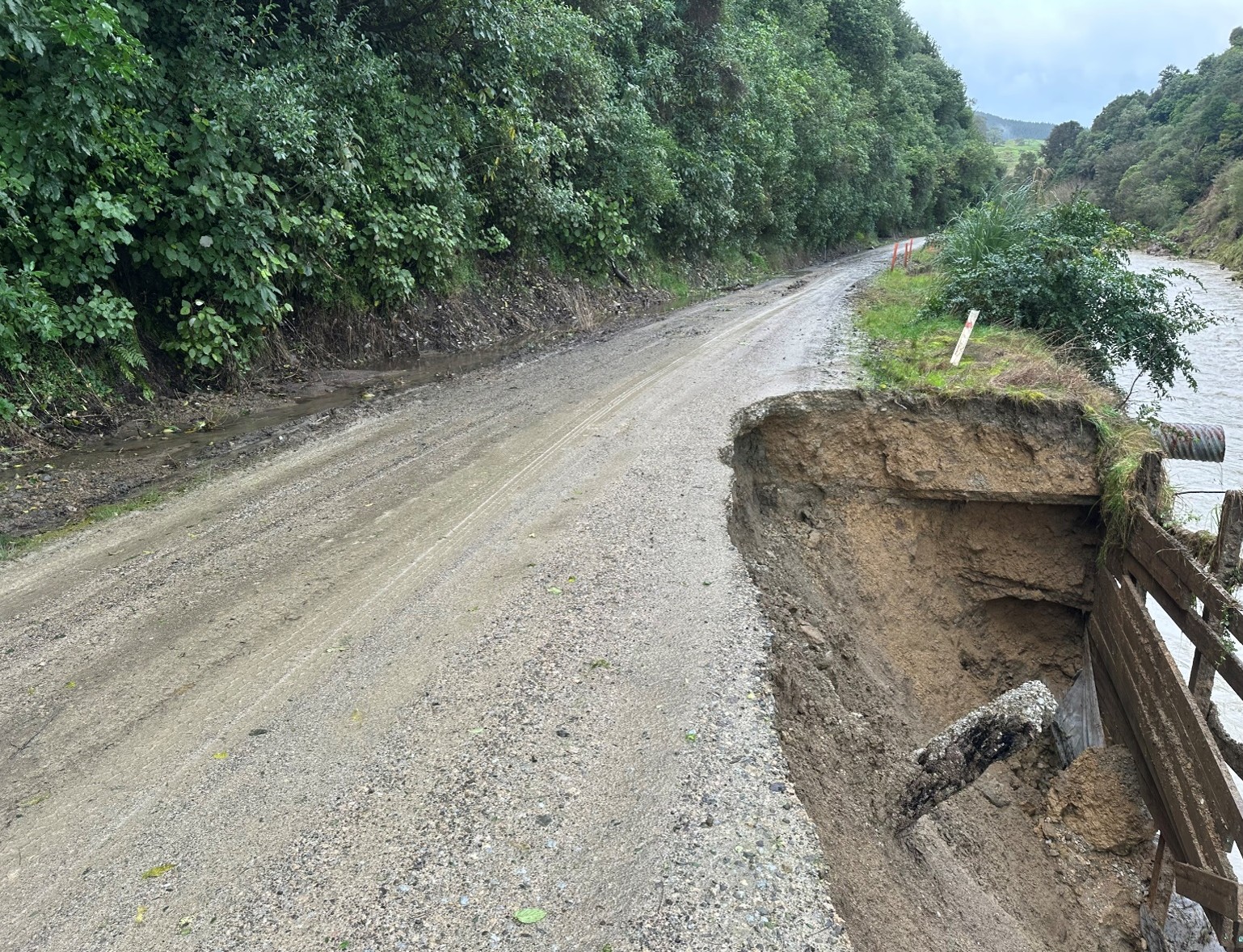
Our local road network remains fragile
We're carrying out both ongoing maintenance and significant recovery work across the region.
The table and map below shows road closures and restrictions.
To view the full programme of road works, see the webpage Maintenance and Recovery Work
Temporary road closures and restrictions
Mainly weather-related
Map display of road information
The map displays long-term road closures and works on state highways. For more detail, visit NZTA Waka Kotahi
Report road or bridge issues
To report local road or bridge issues, please use the Antenno app or contact us online
Antenno
The quickest way to report issues is through Antenno. The app lets you send reports straight from your phone and receive instant updates on main road closures. Download Antenno today
![]()
Map or table - which works best for you?
Do you prefer the map view or the table view for road updates? We'd appreciate your feedback tell us what you think on this quick form