| Motu Road |
32.681km |
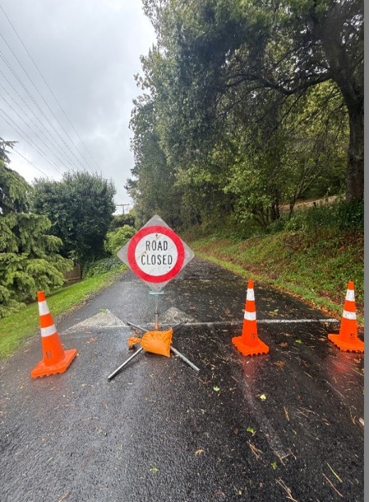
1Closed
|
Slip - refer to Opotiki District Council Website |
Next update
12 Jun
|
13 Mar 2026 1:56pm |
|
| Walker Road |
Walker Rd Bridge |
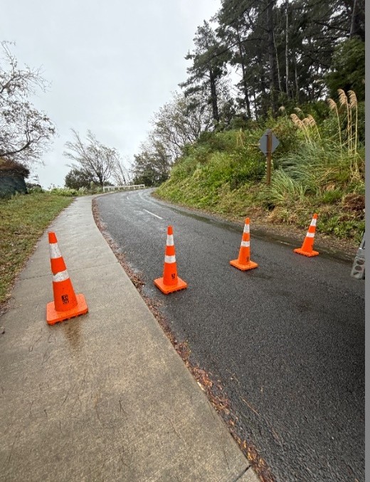
3Closed to Heavy Vehicles
|
Washout on Abutment approach; TMP in place, alternative route to bypass this site. |
Next update
18 Sep
|
02 Mar 2026 2:19pm |
|
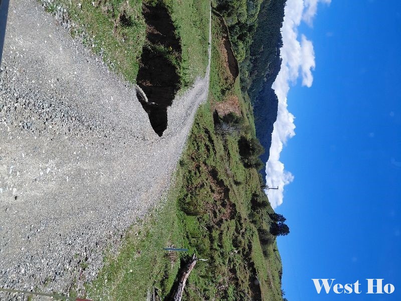
| West Ho Road |
0.5 - 0.9 km |
1Closed
|
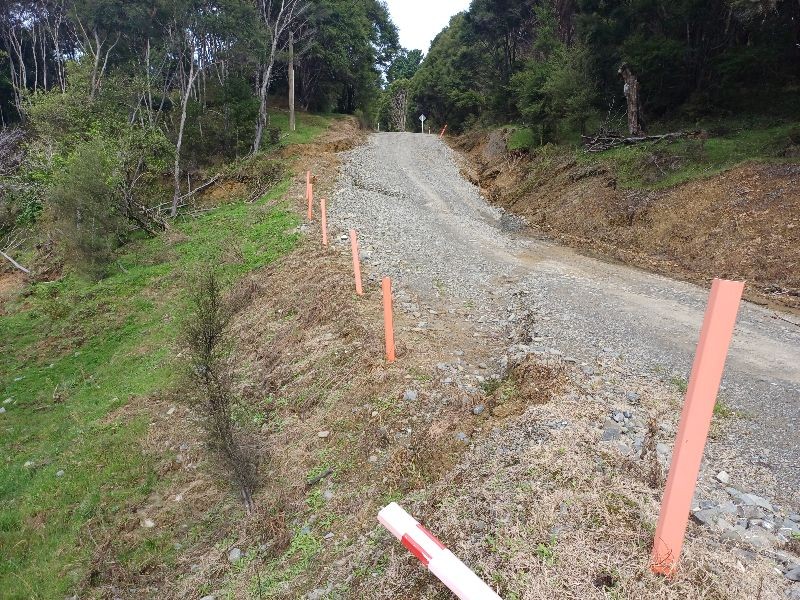
Dropout -Culvert Replacement and Road Reinstatement Program scheduled to be completed by Monday 13 April. |
13 Apr 2026 12:00pm
|
01 Apr 2026 1:12pm |
|
| Hokoroa Road |
7 - 19km |
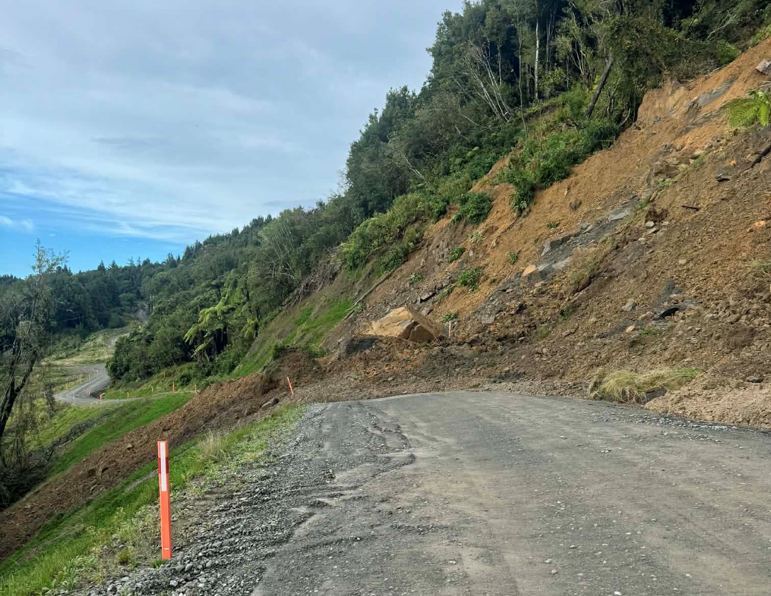
3Closed to Heavy Vehicles
|
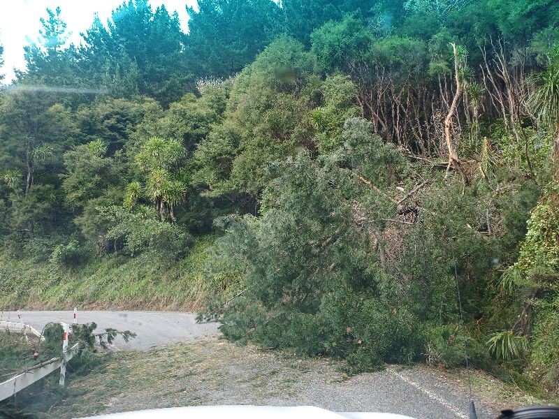
Fallen trees (12km, 7km, 12km, 13km) and Slip (8km) |
Next update
14 Apr
|
13 Apr 2026 6:33pm |
|
| Waiomatatini Road |
7 km mark |
3Closed to Heavy Vehicles
|
Corrugated Pavement at Kaiinanga Hill |
Next update
13 Apr
|
10 Apr 2026 1:03pm |
|
| Waiomatatini Road |
12 km mark |
3Closed to Heavy Vehicles
|
Light vehicles and resident access only - Mangatakuawa Bridge - scour with Narrow section |
Next update
13 Apr
|
13 Apr 2026 12:32pm |
|
| Tuparoa Road |
6.5km mark |
34WD Access Only
|
Uneven surface resulting in 4X4 access only |
Next update
16 Apr
|
13 Apr 2026 12:34pm |
|
| Mangaoporo Road |
10 km mark |
1Closed
|
Ford and River crossing flooded |
Next update
13 Apr
|
12 Apr 2026 9:53am |
|
| Onepoto Road |
0.15 km mark |
1Closed
|
Resident access only - Bridge approach scour |
Next update
13 Apr
|
10 Apr 2026 1:25pm |
|
| Potikirua Road |
0.35 km mark |
1Closed
|
Resident access only - old slip subject to possible further deterioration |
Next update
13 Apr
|
12 Apr 2026 9:45am |
|
| Mata Road - Lower |
entire road |
3Closed to Heavy Vehicles
|
Preemptive road closure due to Cyclone Vaianu |
Next update
13 Apr
|
10 Apr 2026 2:25pm |
|
| Tuakau Road |
entire road |
1Closed
|
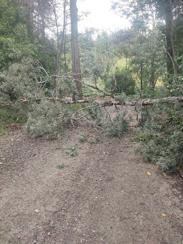
Fallen trees at 7.9km and 8.1km |
Next update
15 Apr
|
13 Apr 2026 7:30pm |
|
| Ihungia Road |
entire road |
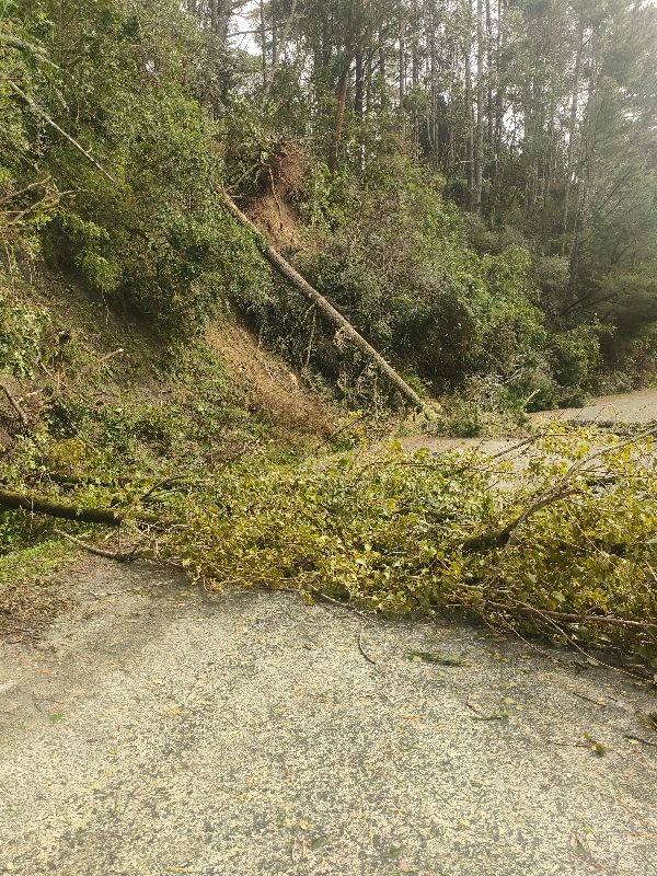
3Closed to Heavy Vehicles
|
Fallen trees at 14km and 15km |
Next update
14 Apr
|
13 Apr 2026 6:30pm |
|
| Horehore Road |
1.8 km |
1Closed
|
Flooding |
Next update
16 Apr
|
13 Apr 2026 6:21pm |
|
| Fox Street |
1.214 - 1.425 km |
1Closed
|
Fallen trees with one tree down on powerline |
Next update
13 Apr
|
12 Apr 2026 5:16pm |
|
| Queens Drive |
0.0007 km mark |
1Closed
|
Fallen tree |
Next update
13 Apr
|
12 Apr 2026 5:26pm |
|
| Titirangi Drive |
1.748 km mark |
1Closed
|
Fallen trees |
Next update
13 Apr
|
12 Apr 2026 5:27pm |
|
| Kiore Road |
19 km mark |
3Closed to Heavy Vehicles
|
Underslip |
Next update
13 Apr
|
13 Apr 2026 9:51am |
|
| Tauwhareparae Road |
25km, 28.9km, & 38km marks |
1Closed
|
25km & 28.9km - fallen trees; 38km - slip |
Next update
16 Apr
|
13 Apr 2026 6:17pm |
|
| Matairau Road |
0.4 km |
1Closed
|
Fallen tree |
Next update
16 Apr
|
13 Apr 2026 6:19pm |
|
| Kopuatarakihi Road |
0.3 km |
1Closed
|
Fallen tree |
Next update
14 Apr
|
13 Apr 2026 6:22pm |
|
| Mata Road - Upper |
5.8km & 5.9km |
1Closed
|
Fallen trees - resident access only at 6.1km |
Next update
14 Apr
|
13 Apr 2026 7:31pm |
|
| Fernside Road |
10 km |
3Closed to Heavy Vehicles
|
Fallen tree |
Next update
14 Apr
|
13 Apr 2026 6:26pm |
|
| Whareponga Road |
7.8 km |
1Closed
|
Resident Access Only - Road slump |
Next update
15 Apr
|
13 Apr 2026 7:27pm |
|
| Waipiro Road |
4 km |
1Closed
|
Resident Access Only - fallen tree |
Next update
15 Apr
|
13 Apr 2026 6:36pm |
|
| Paroa Road |
3.3 km |
1Closed
|
Resident Access Only - fallen tree |
Next update
15 Apr
|
13 Apr 2026 6:39pm |
|
| Parua Street |
0.6 km |
3Closed to Heavy Vehicles
|
Slip |
Next update
15 Apr
|
13 Apr 2026 6:45pm |
|
| Huanui Road |
2.5km & 4.7km |
3Closed to Heavy Vehicles
|
Fallen tree (2.5km) & slip (4.7km) |
Next update
15 Apr
|
13 Apr 2026 7:24pm |
|
| Whakarau Road |
25.8 km |
1Closed
|
Fallen tree |
Next update
15 Apr
|
13 Apr 2026 7:25pm |
|