Sustainable land use helps landowners, farmers and those in the forestry industry manage and reduce their impact on the environment. These efforts aim to protect our region's land, waterways and communities, ensuring a healthier and more resilient future. This approach is part of our response to the Ministerial Inquiry into Land Use (MILU).
The work we’re doing brings together planning processes, regulatory review, cross-sector collaboration and community engagement to support a transition toward more sustainable land use in our region. It’s important to understand these efforts and consider how you can adopt sustainable land use practices on your own land.
Our challenges
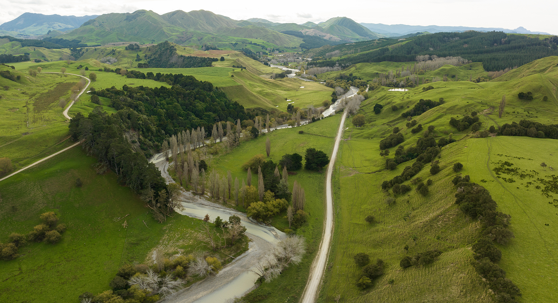
Our region’s unique landscape and weather make it vulnerable to soil erosion. Tairāwhiti contains 25% of the North Island’s most severely eroding land. Historic land clearance has worsened this issue over time. In the past decade, increasingly severe weather events have highlighted the serious risks posed by sediment and woody debris movement leading to widespread environmental damage.
Programmes of work
We're reviewing the Tairāwhiti Resource Management Plan, progressing catchment planning and working with a Transition Advisory Group to develop guidelines and a business case for land transition.
Tairāwhiti Resource Management Plan Review
Addressing the most pressing land use challenges through the review.
Catchment planning
Reviewing our catchment plans to protect our waterways.
Transition Advisory Group
TAG, a cross-sector group to develop guidelines to transition vulnerable land to permanent vegetative cover.
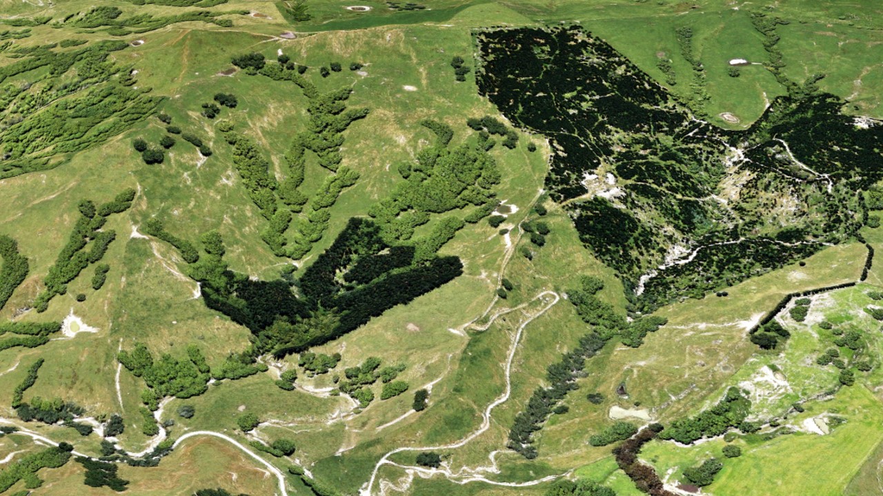
Map showing highly erodible land
We’ve mapped the highly erodible land in our region using expert data and analysis. This map is a non-regulatory tool to help landowners identify erosion-prone areas and support transition to permanent vegetative cover.
Our progress
Timeline of key milestones and progress since 2023
- 30 January - A councillor workshop was held to provide an update on progress across all sustainable land use initiatives.
- 1 April - New standard forestry consent conditions are finalised after 18 months of engagement with industry stakeholders.
- 30 April - The Tairāwhiti Resource Management Plan Committee deliberated on options to progress Council’s forestry plan change programme and decided to wait for further direction from MPI and integrate the forestry plan change workstream with the transition land overlay and farm/forestry planning.
- 26 June - Version 1 of the Transition Guidelines for Sustainable Land Use has been presented to councillors and was positively received. This marks the beginning of wider engagement with landowners.
- February - Start of forestry consent conditions workshops with key industry stakeholders.
- July - The Ūawa Catchment Working Group is established to support the development of the Catchment Forestry Plan and the Freshwater Catchment Plan.
- 27 June - The Gisborne Morphometric Landslide Susceptibility and Connectivity Model is published, identifying areas most prone to landslides and their potential impact on waterways. This model will guide future land use planning and decision-making.
- August - The Tairāwhiti Forestry Action Group is established to lead woody debris cleanup and advise on managing remaining risks.
- September - The Transition Advisory Group (TAG) is formed to develop guidelines for helping landowners transition erosion-prone land to permanent vegetation.
- 14 October - Wellbeing surveys are conducted in Ūawa and Tokomaru Bay using the He Rangitipu He Tohu Ora framework. The surveys assess the social, economic, and environmental impacts of forestry, with findings to inform the upcoming forestry plan change.
- 26 January - Local advocacy group Mana Taiao Tairāwhiti launches a petition calling for an independent inquiry into unsustainable land use in Tairāwhiti.
- 13 – 14 February - Cyclone Gabrielle causes severe impacts in Te Tairāwhiti and Hawke’s Bay.
- 23 February - The Government announces a Ministerial Inquiry into forestry slash and land use practices
- 30 March - Council presents a report signaling its intention to review the Tairāwhiti Resource Management Plan rules for activities on erosion-prone land.
- 12 May - The 'Outrage to Optimism' report, from the Ministerial Inquiry into Land Use, is released with key recommendations for change.
- 8 June - A councillor workshop was held to discuss options for managing land use in the region.
Frequently asked questions
Answers to some of the most frequently asked questions regarding land use, the Tairāwhiti Resource Management Plan review, and the transition of erosion-prone land.
MILU - Ministerial Inquiry into Land Use
The ministerial inquiry was an independent investigation set up by the government in 2023 to look into land use practices in Tairāwhiti and Wairoa following the impacts of Cyclone Gabrielle.
What did the inquiry recommend?
The report made 49 recommendations and identified a range of options to prevent further loss of soil, homes and infrastructure. It also proposed a range of options for building new industries, planning processes and funding mechanisms to support a just transition as the petition had called for.
How will the plan review address land-use issues?
We're reviewing the rules around forestry harvesting, including how slash is managed and how much land can be harvested at one time. We're also looking at other policies related to forestry and farming activities to better protect our land and waterways.
How is Council’s work aligned with the National Environmental Standards for Commercial Forestry (NES-CF) review?
We're working closely with the Ministry for Primary Industries (MPI) to ensure our plan changes align with the direction of the NES-CF review.
What is transition land?
Transition land refers to areas that are highly susceptible to erosion, often close to waterways or located in eroding gullies. These areas are a key focus for transitioning to permanent vegetation cover in order to prevent further environmental degradation.
Is the transition voluntary or mandatory?
TAG’s work is non-regulatory. The guidelines are designed to support and inform landowners. The goal is to build support and scale up change through collaboration.
Who will pay to help landowners transition erosion-prone land to permanent vegetation?
Transitioning large areas of land is a significant financial challenge. TAG is currently developing a business case and delivery plan to secure long-term investment and government support.
Projects we're also working on
These pages relate to the work programme, forestry consent conditions, recovery projects and catchment based initiatives.
Ministerial inquiry into Land Use
An independent investigation launched after Cyclone Gabrielle to review land use in Tairāwhiti and Wairoa
Forestry consents
The national standards for what's allowed and not allowed.
Woody debris
Reducing future flood risk and enhancing resilience
Flood resilience projects
Significant investment has been given to drive flood resilience recommendations and improvements
Waingake Transformation Programme
Working on a case study on transitioning commercial to indigenous forestry at Waingake
Success stories and progress we've made on key projects
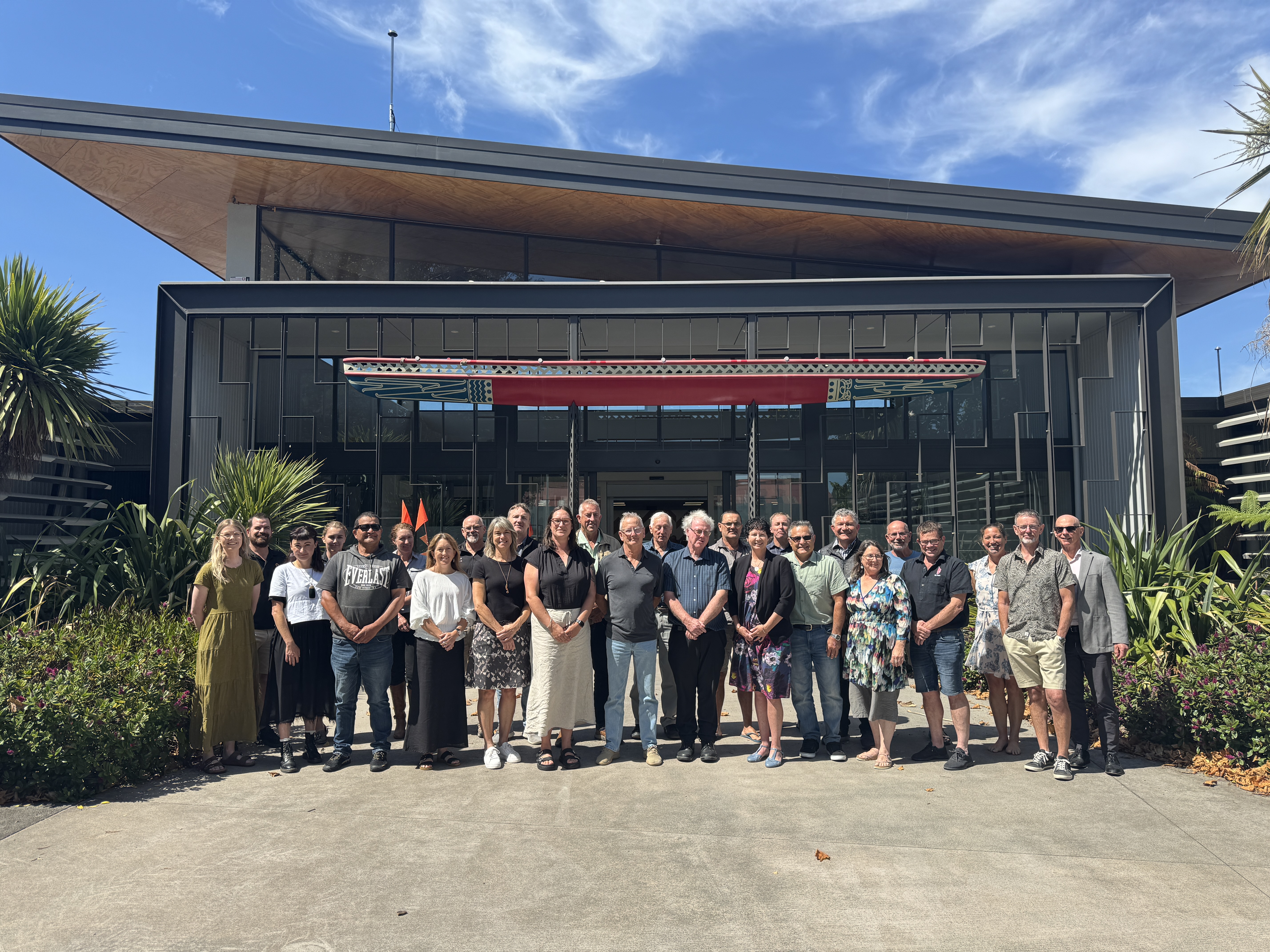
See moreJoint statement supports collaborative approach to sustainable land use transition
Federated Farmers supports the content of the Transition Programme and sees the SLUP approach as a constructive alternative to top-down regulation.
Mangaroa station shows the way forward
Mangaroa station is showing how good land management and erosion control plans can pay off for both the environment and farming.
Council endorsed business case to protect land and rivers
Transformational plan to shift the region's most erosion-prone land into permanent vegetation cover has been endorsed at its Council meeting today.
Tairāwhiti sets regional benchmark with new land Transition Guidelines
Council connects with landowners at Planting for Profit field day
A Call for Action over Talk
Modelling to support Tairawhiti’s landuse planning
Forestry plan change to be integrated
Citizens to help make decisions on land use
Managing sustainable land use better
New forestry consent conditions mark major step forward for sustainable land use in Tairāwhiti
Council welcomes PCE's Alt-F Reset Report
For more information
- Join our engagement platform to receive updates on new projects and engagements - Participate
- Ask us a question email landmanagement@gdc.govt.nz