Thursday 9 May, 2024
Seven new saltwater wedges have been mapped in the Ūawa catchment in an effort to understand inanga (whitebait) distribution.
A saltwater wedge is the furthest point inland that saltwater reaches on a spring high tide.
In February and March this year, Gisborne District Council’s Environmental Science Team collaborated with landowners and Whanau of Te Aitanga a Hauiti Iwi with Davina Walker, Andrew Walker, Chris Marsh, through Taniwha Connections Mere Tamanui to map these saltwater wedges.
Taniwha Connections is an initiative Mere has created to engage whanau ki te whenua, people to spaces through environmental connections.
Inanga, the most common of the five whitebait species, spawn (lay their eggs) near the saltwater wedge during late summer and autumn.
They spawn amongst streambank vegetation such as exotic grass. The fertilised eggs develop in the vegetation and will be taken out to sea on the next spring high tide when the egg is covered in water again.
The location of the saltwater wedge changes over the seasons, with river flow, tide height and rainfall. Mapping the saltwater wedge in the summer when the river flows are lowest means that the most upstream extent of the wedge can be found which is where inanga are known to spawn.
Council and Taniwha Connections identified smaller Uawa rivers had good habitat for inanga to spawn in due to the long grass vegetation on gently sloped banks, and where rivers are fenced off.
Council’s Environmental Scientist Isabella Clere says “focusing inanga monitoring and restoration efforts on the smaller awa has proven successful in the past as they are not as affected by heavy rainfall events like larger catchments are”.
In April, Council and Taniwha Connections returned to a few of the mapped wedges and successfully found signs of inanga spawning in the vegetation. This is a positive indication of the river’s health, including the intact riparian spawning vegetation, good water quality and unimpeded access for saltwater and fish to move up the river.
Fencing off areas where inanga are likely to spawn is the number one thing landowners can do to help our whitebait species to thrive. If you wish to find out more, including where the inanga spawning zones are in your area and how to restore them, please contact Isabella Clere isabella.clere@gdc.govt.nz.
Whatungarongaro te tangata, toitū te whenua – People are momentary, the land is permanent.
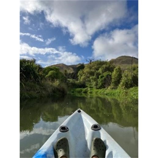
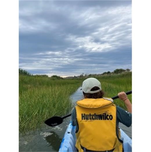
Kayaking up streams in Ūawa
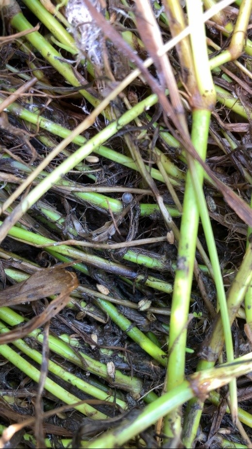
An inanga egg amongst vegetation
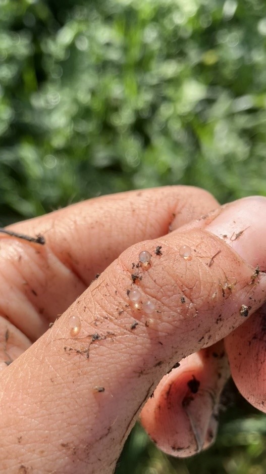
Inanga eggs
