Monday 28 August, 2023
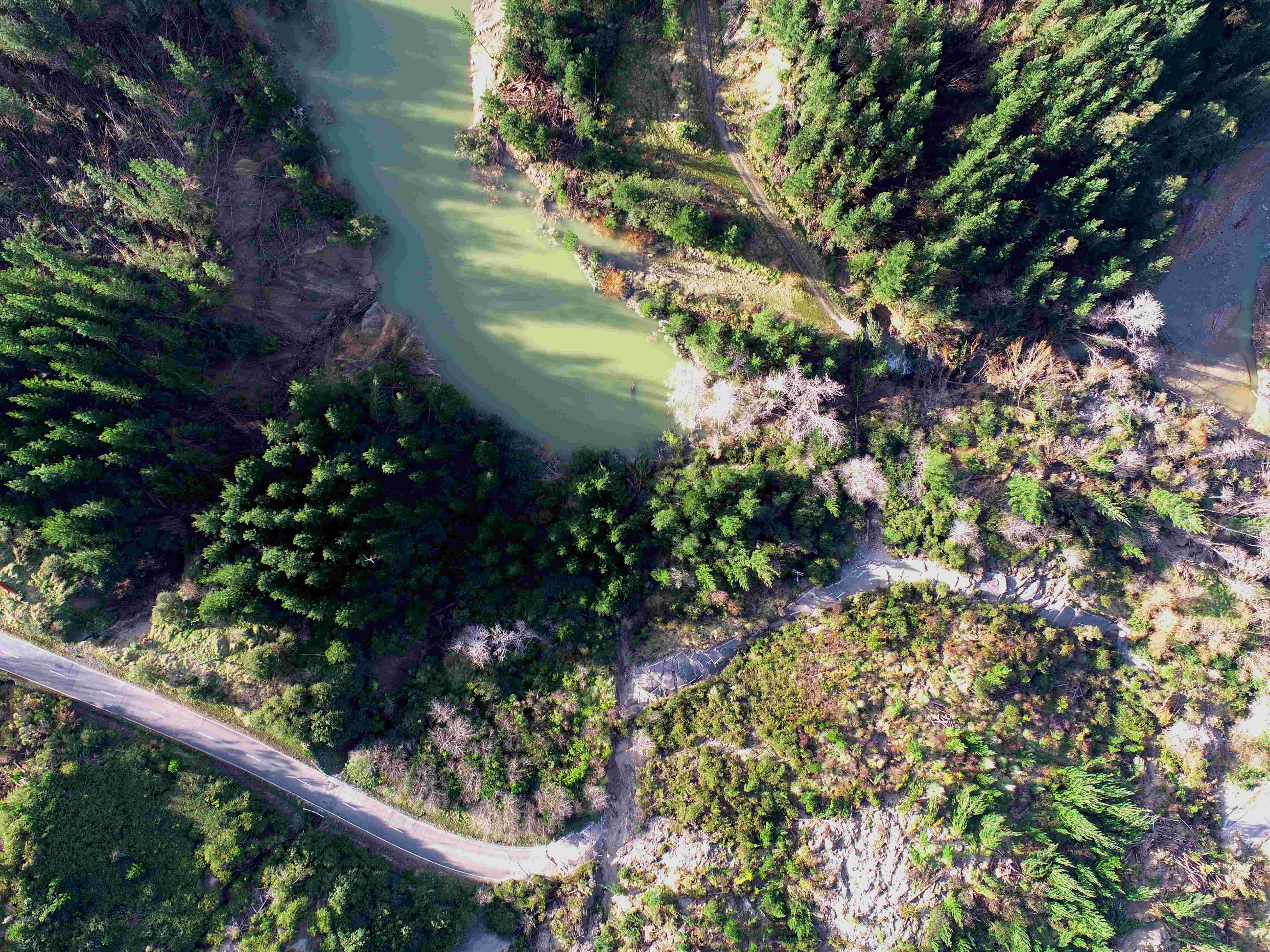
A landslide dam on Tauwhareparae Road has been assessed as low to minimal risk of failure.
The dam formed after the heavy rain event in June when landslides caused massive damage to the rural road that sits inland between Uawa and Whatatutu.
Gisborne District Council Principal Scientist Dr Murry Cave says the dam of water is being actively monitored and inspected, especially after rain.
“The landslide dam itself is quite small at 1.2Ha, and water is freely flowing through it which reduces risk.
“The gradient on the dam is low, which also reduces the risk of rapid failure.”
Dr Cave says this type of feature is expected to break down gradually over the next few months.
The dam has been assessed as having 26,000 m3 of water in it and measures 5m deep and 20m wide, and is pictured below.